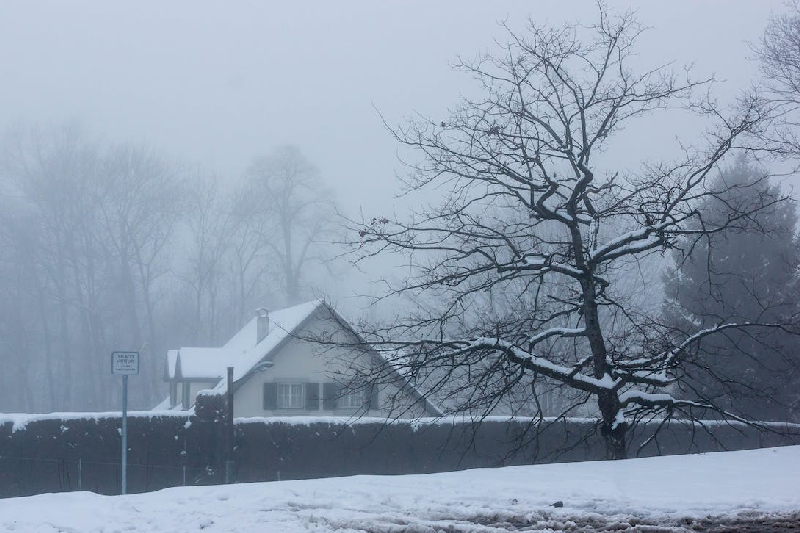
Winter Storm Havoc: Blizzard Chaos Sweeps US Plains
Unleashing Nature’s Fury: The Menacing Winter Storm Engulfs US Plains and Upper Midwest
In a harrowing turn of events, a major winter storm, laden with blizzard conditions, is wreaking havoc across the Plains and upper Midwest of the United States. The relentless assault of heavy snow, freezing rain, and fierce winds is creating perilous travel conditions, casting a shadow over the busy holiday week.
The Storm’s Vicious Arsenal
The National Weather Service issues a stern warning as blizzards with wind gusts of up to 75 mph threaten to topple trees and power lines. The ominous whiteout conditions, a result of blowing snow and sustained strong winds for at least three hours, render travel “difficult to near impossible.” As the storm intensifies, its impact extends across a vast expanse of the north-central US, promising widespread disruptions.
The Battleground: States Under Siege
Parts of Nebraska, South Dakota, Kansas, Colorado, and Wyoming find themselves under the direct assault of blizzard warnings. Residents are strongly advised to refrain from travel, and for those compelled to venture out, survival kits are recommended, emphasizing the unpredictability of getting stranded amidst the storm’s fury.
Chaos Unleashed: On the Roads and Beyond
As the storm unfolded, Nebraska witnessed a rapid deterioration in driving conditions, with collisions, slides-offs, and jackknifed tractor-trailers marring Interstate 80. The South Dakota Highway Patrol responded to multiple crashes in Watertown, urging residents to exercise caution, avoid cruise control, and allow space for snow plows.
Snowfall Records Shattered
Monday saw the heaviest snowfall across the Dakotas, stretching north over parts of I-94. While the snowfall began to weaken across I-90, visibility plummeted as blowing snow continued to obscure the roadway. The South Dakota Highway Patrol’s plea for reduced speed and seatbelt usage echoed the escalating challenges faced on the icy roads.
Keep Reading
Forecasted Deluge: A Winter Storm Turns Treacherous
The weather service issued warnings of snowfall rates reaching 1-2 inches per hour in certain areas, with a projected accumulation of over 12 inches from south-central South Dakota into northern Nebraska by the storm’s conclusion. In the northern Plains, a mix of sleet and freezing rain adds to the turmoil, increasing the risk of scattered power outages and hazardous icy conditions on roads and sidewalks.
The Unyielding Struggle
As the storm is expected to gradually weaken by Tuesday night, a lingering wintry mix is anticipated to persist into Wednesday across portions of the northern Plains and upper Midwest. The battle against nature’s fury continues, with residents bracing for the aftermath of the relentless winter storm.
Stay Informed, Stay Safe: Navigating the Winter Whirlwind
Amidst the chaos, it becomes paramount for residents to stay informed and exercise caution. The unpredictable nature of the storm demands vigilance and preparedness. For live updates and comprehensive information on navigating the winter whirlwind, continue to follow reliable weather sources.


